






DIVE INTO NATURE WITH SATELLITE CONNECTION
To keep adventurers in touch and on track, the Montana 700i navigation device combines the flexibility of on- or off-road navigation with global messaging and interactive SOS alerts using inReach satellite communication technology.1.

Great news. A full QWERTY keyboard lets you easily type messages.

Get further away and stay in touch with inReach to send messages and access 24/XNUMX emergency support.

TopoActive maps of Europe with routing capabilities. Now you can take it on-road or off-road.

Meets MIL-STD 810 standard for temperature, shock, water, and vibration.

Download BirdsEye satellite imagery directly to your device.

Power your adventures with over 18 hours of lithium-ion battery life in GPS mode.
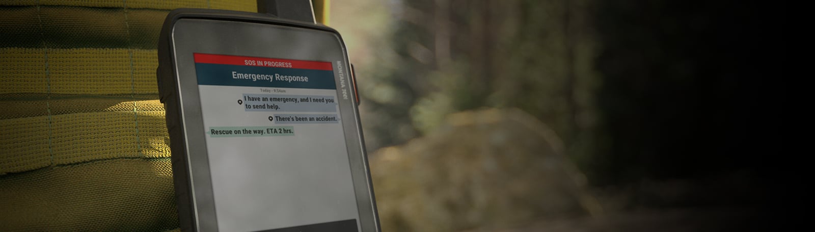
Connect from the exit with inReach technology.
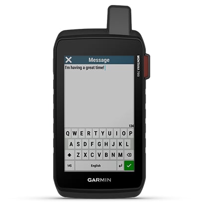
BIDIRECTIONAL MESSAGING
Exchange text messages with loved ones, post on social networks or communicate with another inReach device in the same area (Active subscription to a satellite service is required.)
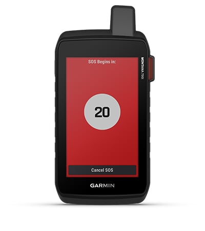
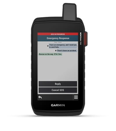
INTERACTIVE SOS
In the event of an emergency, activate an interactive SOS message to GEOS, a professional 24/XNUMX global control and response center (Active subscription to a satellite service is required.)
GLOBAL CONNECTIVITY
Instead of relying on mobile coverage, now your messages, SOS alerts and tracking options are transferred via the Iridium satellite network® with fully global coverage (Active subscription to a satellite service is required.)
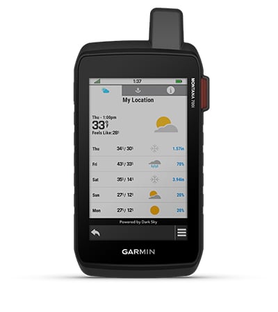
THE INREACH WEATHER FORECAST
The available inReach weather service provides detailed updates directly to the Montana navigation device or paired devices, so you know what to expect en route.
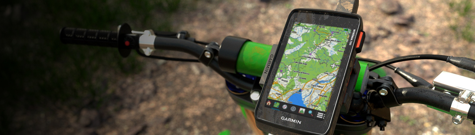
Have everything ready. With navigation for any situation.
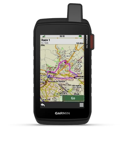
WITH RESISTANT DESIGN
This navigation device and Waterproof It has been tested to US military standards and features a 5” glove-friendly touchscreen that is 50% larger than previous Montana models.
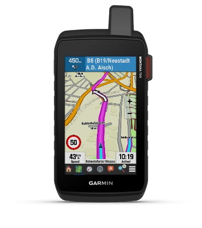
CITY NAVIGATOR MAPS
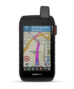
Seamlessly transition between trail and road riding with the street map of City Navigator preloaded, it guides you as you drive with easy-to-follow turn-by-turn directions.
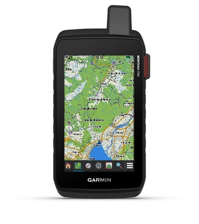
TOPOACTIVE MAPS OF EUROPE
To navigate your adventures, use the preloaded TopoActive maps of Europe. See elevations, coastlines, rivers, landmarks, and much more.
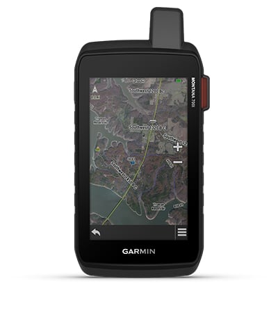
SATELLITE VIEWS
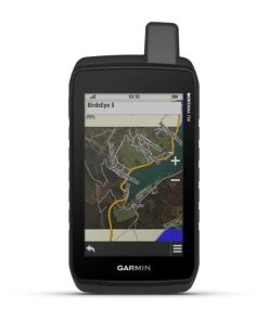
Use direct downloads to the device of the BirdsEye satellite imagery (no annual subscription required) to see realistic views and create waypoints based on iconic locations.
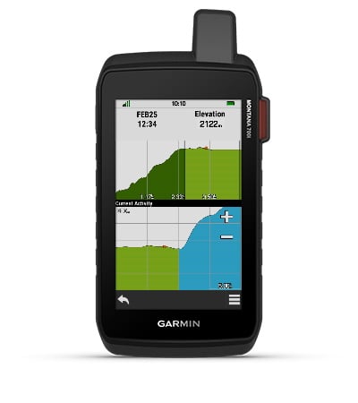
ABC SENSORS
Use ABC sensors on your next ride, including an altimeter for altitude data, a barometer to monitor weather changes, and a XNUMX-axis electronic compass.
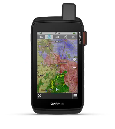
ACTIVE TIME
Use mobile connectivity2 to access updated Active Weather forecasts through the Garmin Connect™ app.
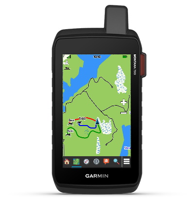

Stay on track as you venture into remote locations.
COMPATIBILITY WITH VARIOUS GNSS SYSTEMS
Access to GPS, GLONASS and Galileo satellite networks allows Montana® 700i track better in more demanding environments than using GPS alone.
MONITORING
Track your location and share it with family members back home or colleagues in the same area. That way, they can check your progress or request your GPS location, among other things, through your web-based MapShare™ ride-sharing page (Montana 700i and 750i only; satellite subscription required).
LOW POWER MODE
Go further to the most remote places. It uses Low Power Mode, a very low power GPS system, to keep Montana tracking for a week or more between recharges.
LONGER AUTONOMY OF THE BATTERY
An internal rechargeable lithium-ion battery provides over 18 hours of battery life in GPS mode.
VEHICLE SUPPORTS
A variety of mounts compatible with the Garmin Montana 700i navigation device (sold separately) allow you to adapt the navigator for use on ATVs, boats, cars, motorcycles, RVs, or other vehicles.
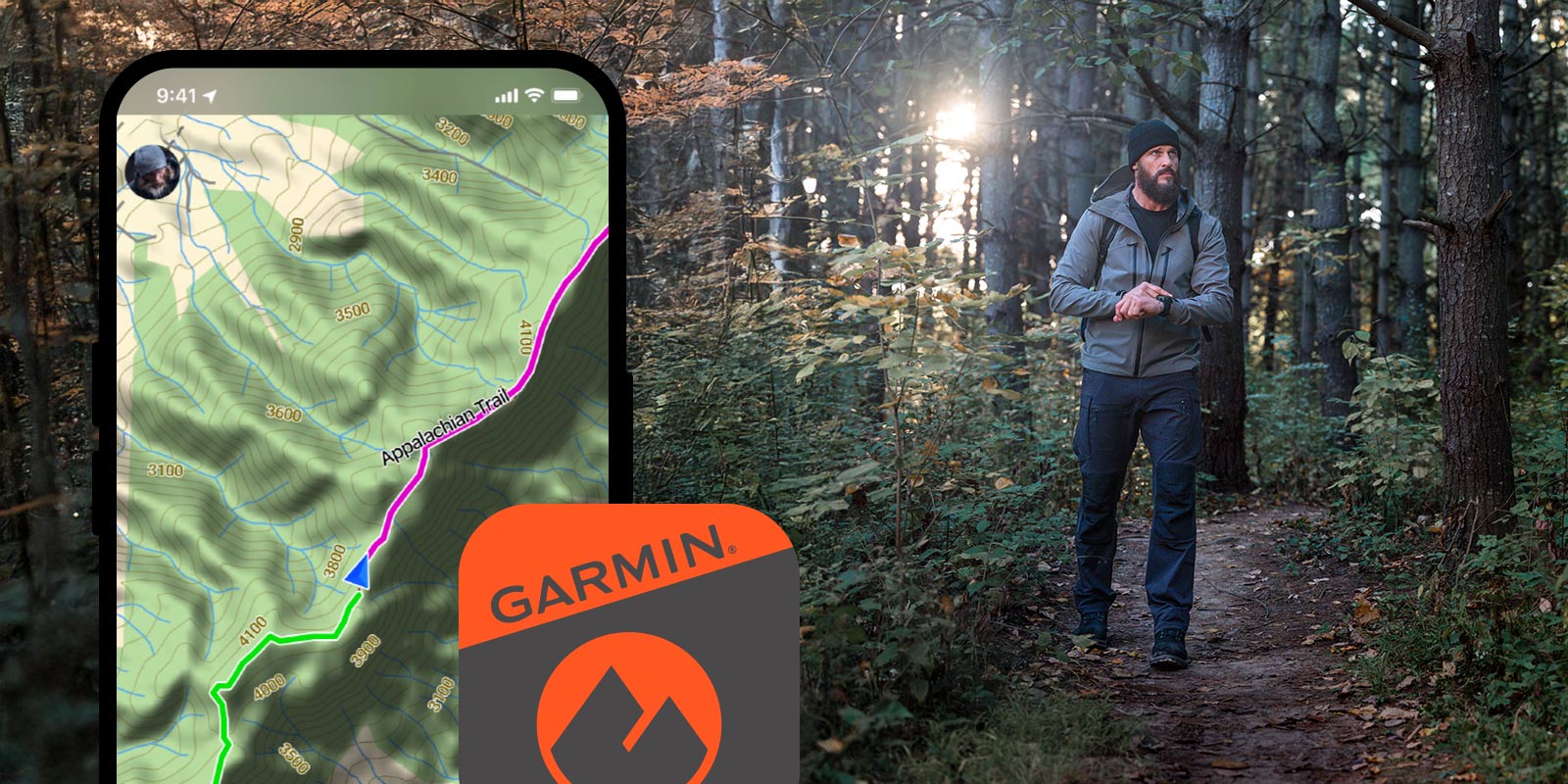
Garmin Explore™ app – navigation and much more